

Like the title says, it is weird that ONX Maps has a trail right over the purported S4 site. It even has a few around the spots where the road ends. And no, there aren‘t a whole bunch more in the surrounding areas. I scanned around and couldn’t find any. How do they get their data for this region? It is clearly not publicly accessible. Is this some kind of easter egg?
by BeginnersMind2
3 Comments
Pure speculation but I wonder if the engineers there have the app installed and walk this path regularly, and it got logged automatically
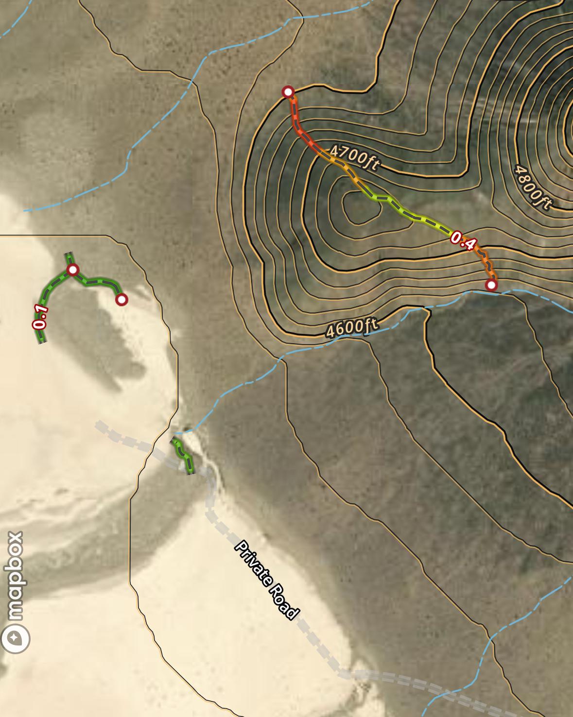
Well. Id say this Shows a Tunnel and two different entrances?
These trails also show up on Gaia’s basemap, which is mostly filled with OSM data. OnX is using the same data. If you pull up that area on openstreetmap.org you’ll see the indicated trails along with a marker for S4 Secret Base.
You can even see the edit history for the map elements if you use the “query feature” tool on the OSM map. The trail across the hill is recent, only about 8 months. But the marker for the secret base goes back about 5 years.
Old USGS topo maps from the ’50s show a trail crossing the dry lakebed there. So i wouldn’t be surprised if there was some mineral exploration in the area that left some scars on the hillsides. I personally don’t think theres much to this story, but I would love to be wrong.