
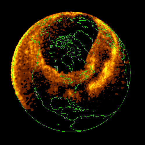
In March of 1989, a highly active sunspot region released multiple extreme solar flares, including an X4.5 flare on March 10 and a M7.3 flare on March 12.
The Dynamics Explorer 1 satellite captured the March 1989 aurora over Earth's southern regions. Scientists then plotted auroral map along northern magnetic field lines to create an approximation of what the aurorae probably looked like.
Credit: NASA/GSFC/Univ. of Iowa
by Busy_Yesterday9455