
Reading time: < 1 minute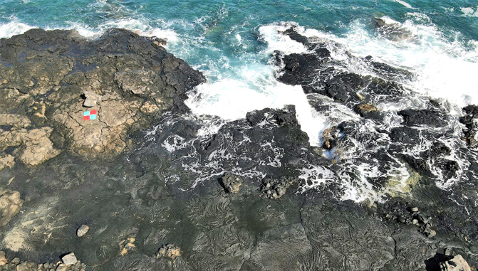 A measurement marker is visible in the upper left. Aerial images help map seasonal high-water events along the coast. (Credit: Haunani Kane)
The University of Hawaiʻi at Hilo will lead a new $1.2 million, three-year grant funded by NASA to better understand how Hawaiʻi’s coastlines can withstand climate change while expanding hands-on research and workforce development opportunities for students across the 10-campus UH System.
John Burns, an associate professor of marine science will co-lead the project with Haunani Kane, assistant professor of Earth sciences at the UH Mānoa School of Ocean and Earth Science and Technology.
“We are very excited to connect students from across the UH system through applied research experiences that help build educational pathways into careers in science and conservation,” said Burns.
The team will study how sea level rise and warming oceans are affecting coral reefs and nearshore areas. Students will learn satellite mapping, drone surveys, reef modeling and data analysis. They will also work with faculty, community partners and NASA scientists.
Burns directs UH Hilo’s Multiscale Environmental Graphical Analysis (MEGA) Laboratory, where he creates detailed three-dimensional maps of reefs. Those maps show how storms, bleaching and human activity change reef structure and health over time.
For more go to UH Hilo Stories.
—By Susan Enright
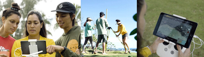 Students in the field conducting surveys. (Credit: John Burns)