
 Latest Papoose Lake S4 Map Updates")
I have been working to plot every set of tracks (represented as light single dotted line segments) along with the numerous heavily traversed paths/deleted roads (represented by single dashed line segments).
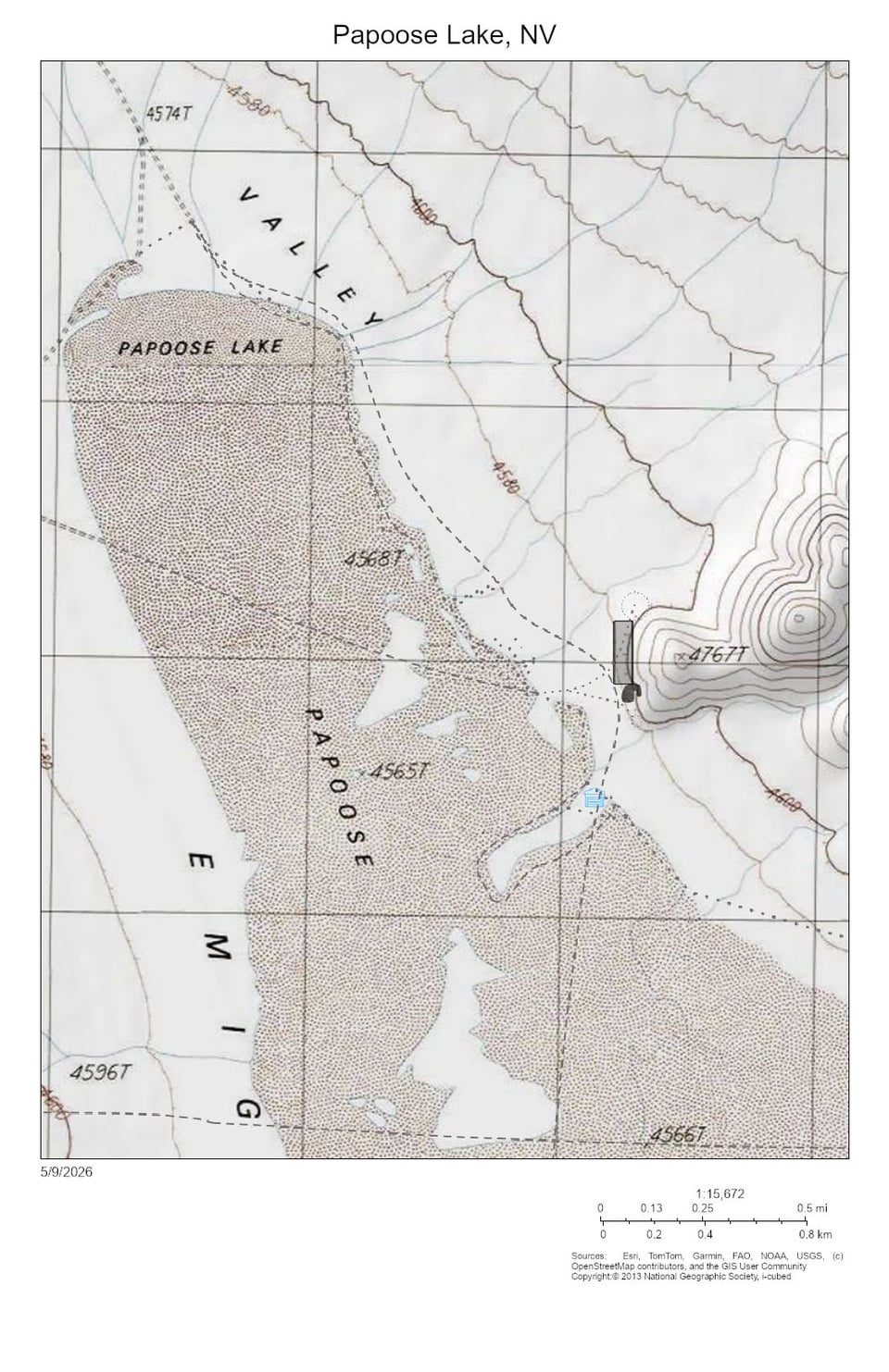
The first photo is the latest map, output as a JPG.
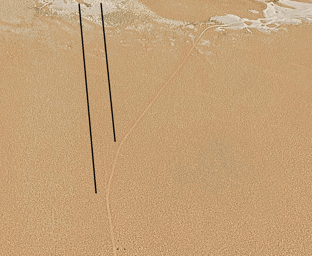
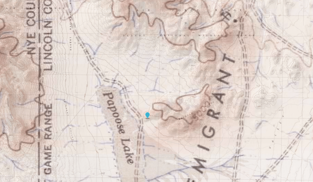
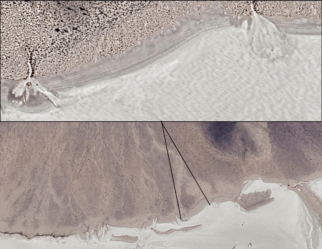
The second photo is justification for marking the northern hidden access road. It is also indicated on a 1941 topographical map (third photo).
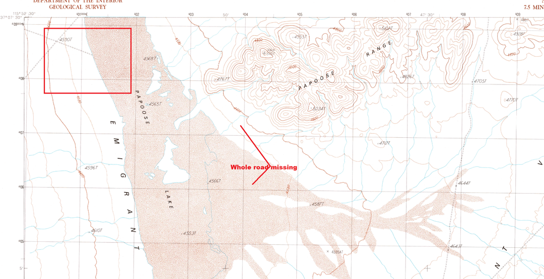
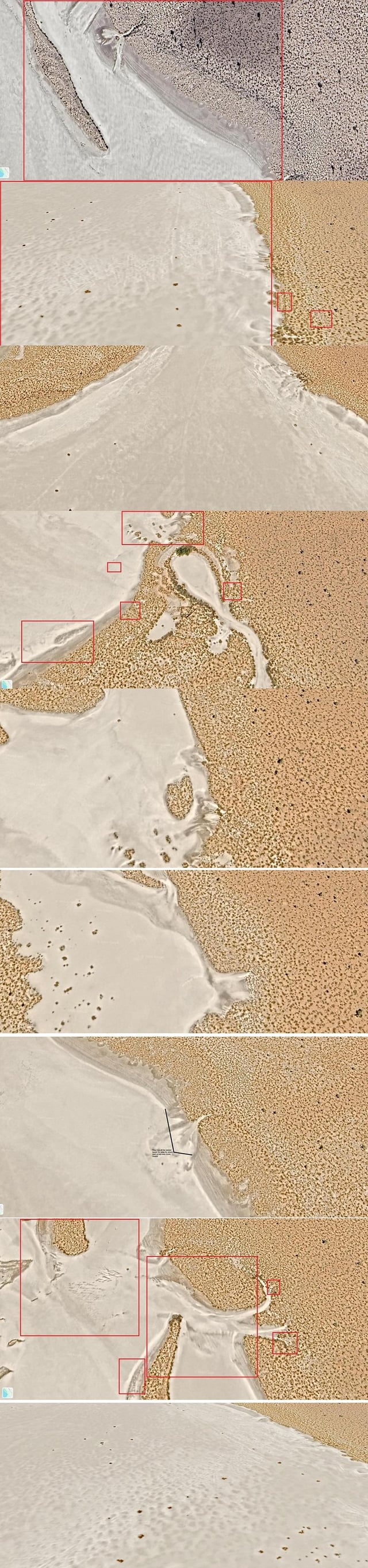
The fourth photo justifies three additional missing roads, one from the northwest->southeast, another are two south access roads that lead back to Groom Lake. All three were excluded while other, lesser roads (including older prospect roads/access) were still plainly marked.
The fifth photo verifies that a significant amount of traffic exits the dry lake bed->the shore, driving on the lakebed itself and in the vicinity of the AOI.
The sixth photo shows each individual track grouped into clusters by destination, which are themselves represented as light, single dotted line segments. Repeated vehicle activity, heading to the same destination.
by Crafty_Whereas6733