
")
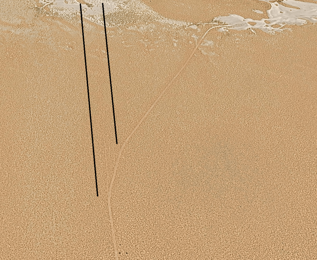
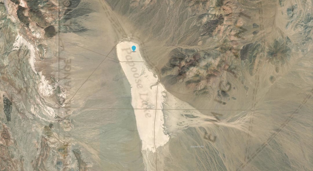
This map shows all of the larger roads, but not the individual paths/tracks near S4 or on the dry lake. Future version (including a KML) will include these.
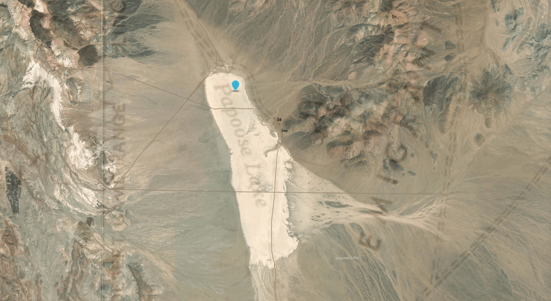
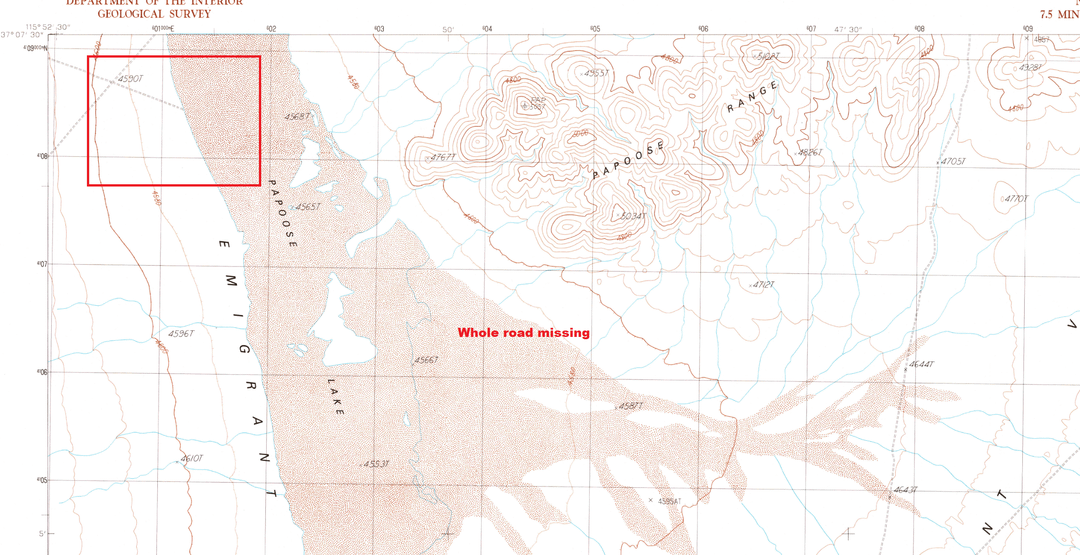
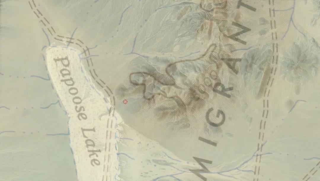
For those who don't know, this is a map of Papoose lake overlaid with a topographical map in order to show the roads. 8 days after Bob Lazar went public in May 1989, they suspiciously updated the map to remove an entire road and make the area appear to have no roads servicing the eastern shore of the dry lake.
Using old topo maps and observing the roads on satellite imagery, I've recreated the map as closely as possible to create the most accurate version available. In currently available maps, the access road from the north that heads east toward S4 has been removed, and all traces of the smaller access road and the larger road/sets of tracks just below it have also been removed (the paths leading from Groom Lake south).
by Crafty_Whereas6733