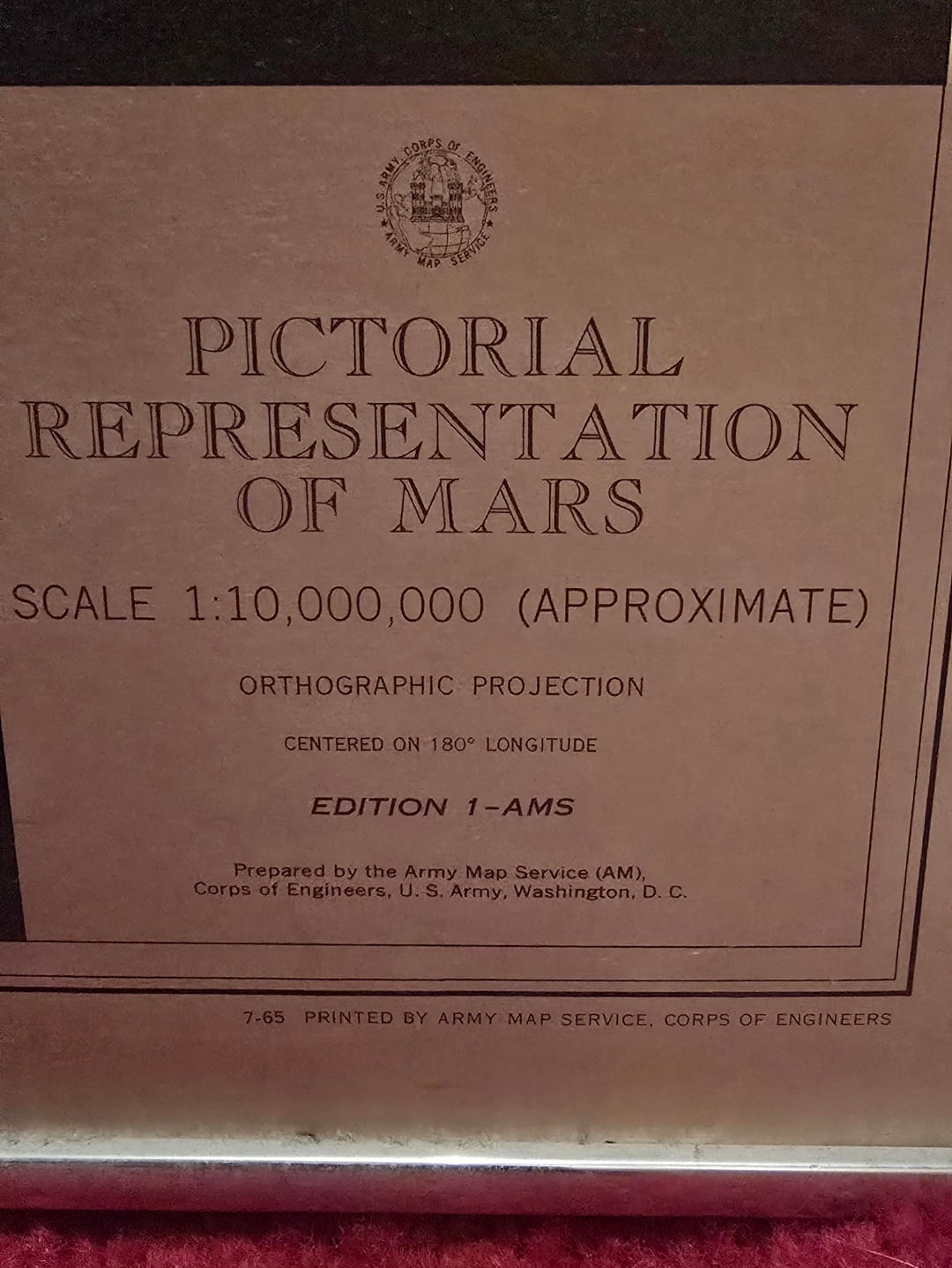
Your map was printed in July 1965 — after the Mariner 4 flyby (July 14-15, 1965), but almost certainly compiled before that mission returned data. This is significant: prior to spacecraft visits during NASA’s Mariner missions in the 1960s, it was widely believed that Mars contained vast seas and vegetation (Wikipedia) . The dark features on your map were still being interpreted as potential seas (named with “Mare” designations), and the “canals” depicted as linear dark features reflect the telescopic observation tradition going back to Schiaparelli and Lowell. Mariner 4’s close-up images revealed a cratered, barren surface that fundamentally overturned these assumptions.
So your map represents essentially the last generation of pre-spacecraft Mars cartography — the culmination of centuries of telescopic observation rendered with U.S. military-grade precision, made obsolete within weeks of its printing.

")

3 Comments
Details from Claude:
Your map was printed in July 1965 — after the Mariner 4 flyby (July 14-15, 1965), but almost certainly compiled before that mission returned data. This is significant: prior to spacecraft visits during NASA’s Mariner missions in the 1960s, it was widely believed that Mars contained vast seas and vegetation (Wikipedia) . The dark features on your map were still being interpreted as potential seas (named with “Mare” designations), and the “canals” depicted as linear dark features reflect the telescopic observation tradition going back to Schiaparelli and Lowell. Mariner 4’s close-up images revealed a cratered, barren surface that fundamentally overturned these assumptions.
So your map represents essentially the last generation of pre-spacecraft Mars cartography — the culmination of centuries of telescopic observation rendered with U.S. military-grade precision, made obsolete within weeks of its printing.
Oceans being the name, sure. Though being vegetation was arguable. see eg: https://collectionslowellobservatory.omeka.net/items/show/1149 and https://www.planetary.org/articles/1858 for some of the history of Mars maps.
As an amateur map and astronomy nerd, this hits both itches. Thank you OP!