

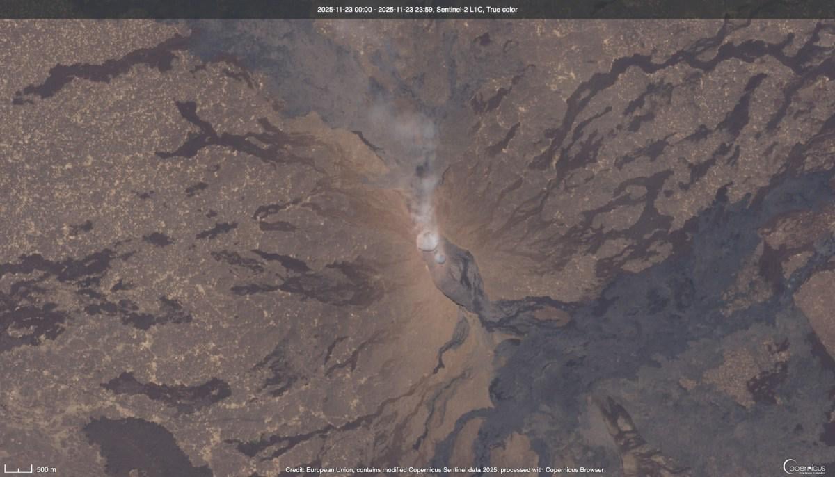
Satellite imagery allows scientists to track the eruption’s scale and trajectory, providing critical data for disaster preparedness and a better understanding of volcanic activity in the region.
Also, a video of it seen from space is on https://www.reddit.com/r/spaceporn/comments/1p54ucg/todays_hayli_gubbi_volcanic_eruption_seen_from/
by Aeromarine_eng